Montrose, Ohio
Unincorporated community in Ohio, U.S.
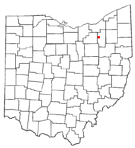

Montrose is an unincorporated community on the border between Bath Township, Copley Township, and the city of Fairlawn in Summit County, Ohio, United States.[1] It is an area of restaurants, stores, and businesses located along a stretch of State Route 18 near Interstate 77. The community is served by the Fairlawn (44333) post office.[2] It is included in the Montrose-Ghent census-designated place. It had been a quiet hamlet for much of its history, with such establishments as a drive-in theater, golf courses, and a church. It became a busy retail area in the 1990s as new commercial development moved in.
Montrose was originally called Latta's Corners and then Ellis' Corners.[3] The community first developed around a tavern built by one Mr. Latta.[4] A post office called Montrose was established in 1849, and remained in operation until 1911.[5] The present name most likely is derived from wild roses near the elevated town site.[6]
References
- ^ U.S. Geological Survey Geographic Names Information System: Montrose, Ohio
- ^ Zip Code Lookup
- ^ Doyle, William B. (1908). Centennial History of Summit County, Ohio and Representative Citizens. Biographical Publishing Company. p. 102.
- ^ Perrin, William Henry (1881). History of Summit County: With an Outline Sketch of Ohio. Baskin & Battey. p. 624.
- ^ "Summit County". Jim Forte Postal History. Retrieved January 23, 2016.
- ^ Overman, William Daniel (1958). Ohio Town Names. Akron, OH: Atlantic Press. p. 90.
External links
- U.S. Geological Survey Geographic Names Information System: Montrose
- v
- t
- e
Municipalities and communities of Summit County, Ohio, United States
County seat: Akron
- Akron
- Barberton
- Cuyahoga Falls
- Fairlawn
- Green
- Hudson
- Macedonia
- Munroe Falls
- New Franklin
- Norton‡
- Reminderville
- Stow
- Tallmadge‡
- Twinsburg

communities
‡This populated place also has portions in an adjacent county or counties
- Ohio portal
- United States portal
41°08′08″N 81°38′14″W / 41.13556°N 81.63722°W / 41.13556; -81.63722
Authority control databases | |
|---|---|
| International |
|
| National |
|
 | This Summit County, Ohio state location article is a stub. You can help Wikipedia by expanding it. |
- v
- t
- e


 Montrose,_Ohio