| Jabal Yibir | |
|---|---|
| Jabal Al-Mebrah | |
 View of Jabal Yibir from the road, at an altitude of 1080 meters | |
| Highest point | |
| Elevation | 1,527 m (5,010 ft) |
| Prominence | 216 m (709 ft)[1] |
| Isolation | 4.93 km (3.06 mi) |
| Coordinates | 25°38′54″N 56°07′45″E / 25.64833°N 56.12917°E |
| Naming | |
| Native name | Arabic: جَبَل يِبِر |
| Geography | |
 Jabal Yibir Location of Jabal Yibir / Jebel Al-Mebrah in the United Arab Emirates  Jabal Yibir Jabal Yibir (Persian Gulf)  Jabal Yibir Jabal Yibir (West and Central Asia) | |
| Location | Emirate of Fujairah, the UAE |
| Country | |
| Emirate | |
| Parent range | Hajar Mountains |
Jabal Yibir[2][3] (Arabic: جَبَل يِبِر), also known as Jabal Mebrah or Jabal Al-Mebrah (Arabic: جَبَل ٱلْمبْرَح, romanized: Jabal Mibraḥ), is a mountain located in the western part of the Hajar Mountains, northeast of the United Arab Emirates, between the emirates of Fujairah and Ras Al Khaimah.
Its summit is located in the Emirate of Fujairah, and has an elevation of 1,527 m (5,010 ft), a prominence of 216 m (709 ft), and a topographic isolation of 4.93 km (3.06 mi).[1]
It is the highest mountain in the Emirate of Fujairah[4][5] and is part of a larger elevated massif, surrounded by steep slopes and other smaller peaks that exceed 1,400 m (4,600 ft) in altitude, delimiting the Water Divide Line between the drainage basin of Wadi Tawiyean and Wadi Naqab.[6][7]
Access
[edit]At the summit of Jabal Yibir there is a military installation, radars and communications antennas, and it is not accessible to the public.

After several years, the construction of a winding paved road from Al Tawiyeen / Aţ Ţawyēn[8][9] was completed in 2024, with sections of a 16% gradient, but with a modern layout, good surface and safety.
At an altitude of 1,227 m (4,026 ft), 2.6 km (1.6 mi) before the summit, there is a police checkpoint. After identification, access is usually permitted up to an altitude of 1,360 m (4,460 ft), one kilometer before the military installations.
Toponymy
[edit]Alternative names: Jabal Yibir, Jabal Al-Mebrah, Jabal Mibraḥ, Jabal Al-Mebraḥ, Jabal Mibrah, Jabal al Mebrah, Jabal al Mibrah, Jabal Mebrah, Jebel Al Mebrah

The name of the Jabal Yibir appears recorded in the documents and maps produced between 1950 and 1960 by the British Arabist, cartographer, military man and diplomat Julian F. Walker, on the occasion of the work carried out for the establishment of the borders between the then-called Trucial States, later completed by the UK Ministry of Defence with 1:100,000 scale maps published in 1971, and in other maps[10] and earlier documents held in the UK National Archives.[5][11]
In the National Atlas of the United Arab Emirates it is referenced with the spelling Jabal Mibraḥ.[8]
Population
[edit]The territory of Jabal Yibir was historically populated by the sharqiyin or sharquiyin tribe (Arabic: الشرقيون), mainly by the Hafaitat / Ḩufaitāt and Yammahi / Yamāmaḩah tribal sections.[5][12][13]
See also
[edit]- List of mountains in the United Arab Emirates
- List of wadis of the United Arab Emirates
- List of mountains in Oman
- List of wadis in Oman
- Geography of Asia
- Geography of Oman
References
[edit]- ^ a b https://www.peakbagger.com/peak.aspx?pid=10479 - Jabal Yibir, United Arab Emirates
- ^ Jabal Yibir - Fujairah Tourism & Antiquities Department <https://fujairah.ae/en/Pages/placevisitDetails.aspx?placeToVisitID=12>
- ^ "Jabal Yibir GNS:id -784639". National Geospatial-Intelligence Agency (NGA). Retrieved 2024-06-06.
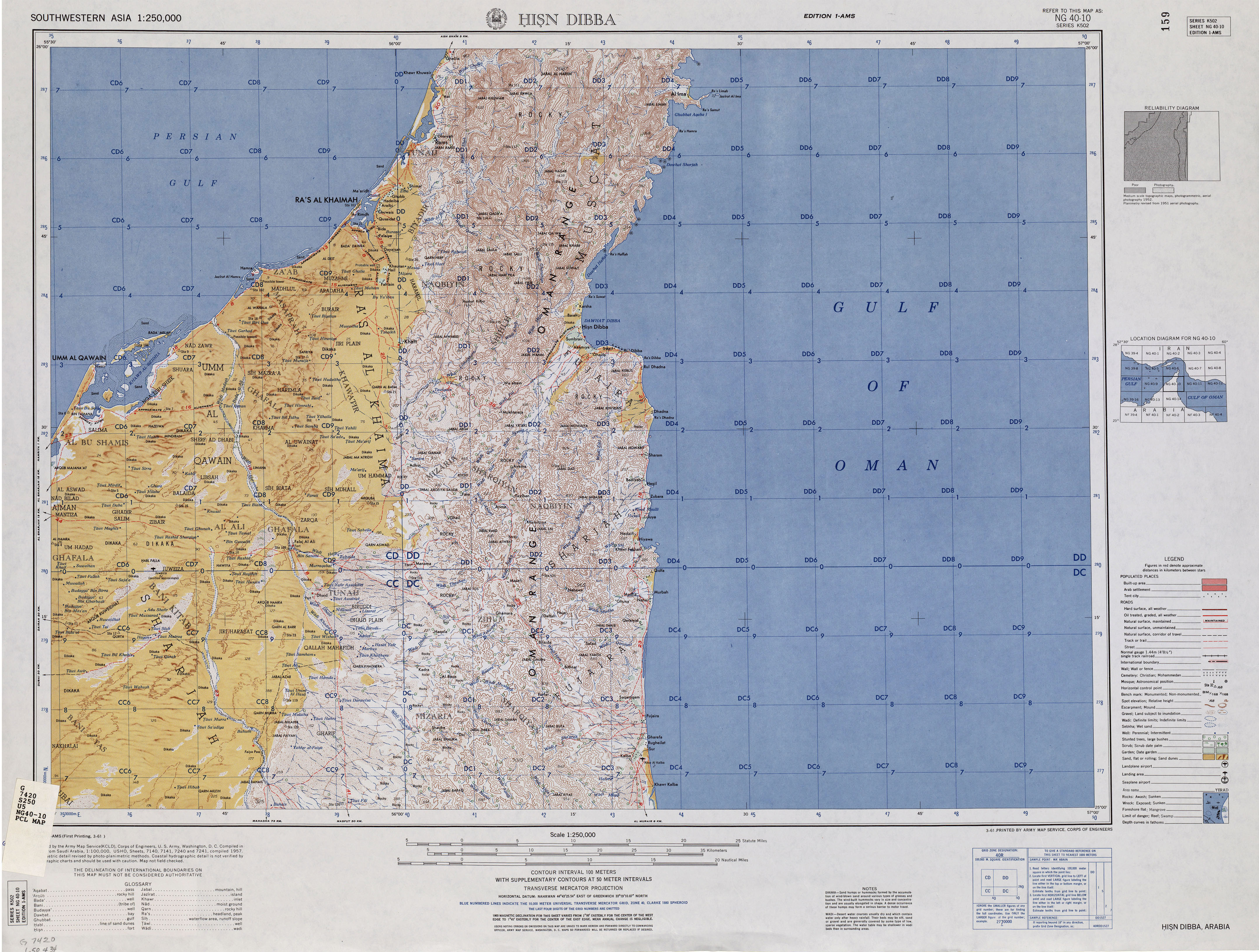
- ^ "Hisn Dibba Map". maps .lib.utexas.edu. Retrieved 2024-04-24.
- ^ a b c Map FCO 18/1791 - 1972 - Oman and the United Arab Emirates (UAE): Dibba - Scale 1:100 000 - Published by D Survey, Ministry of Defence, United Kingdom (1971) - Edition 3-GSGS - The National Archives, London, England <https://www.agda.ae/en/catalogue/tna/fco/18/1791/n/1>
- ^ Al-Farraj, Asma & Harvey, Adrian. (2004). Late Quaternary interactions between aeolian and fluvial processes: A case study in the northern UAE. Journal of Arid Environments. 56. 235–248. 10.1016/S0140-1963(03)00054-5. Map pag. 243<https://www.researchgate.net/publication/256941317_Late_Quaternary_interactions_between_aeolian_and_fluvial_processes_A_case_study_in_the_northern_UAE>
- ^ Elmahdy, Samy. (2012). Influence of geological structures on groundwater accumulation and groundwater salinity in Musandam Peninsula, UAE and Oman. Geocarto International. 28. 453-472. 10.1080/10106049.2012.724455. Map pag. 10 <https://www.researchgate.net/publication/261709103_Influence_of_geological_structures_on_groundwater_accumulation_and_groundwater_salinity_in_Musandam_Peninsula_UAE_and_Oman
- ^ a b Jāmiʿat al-Imārāt al-ʿArabīyah al-Muttaḥidah (1993). The national atlas of the United Arab Emirates. Al Ain, United Arab Emirates: United Arab Emirates University with GEOprojects (U.K.) Ltd. ISBN 9780863511004.
- ^ www.mindat.org - Ţawīyayn, Al Fujayrah, United Arab Emirates
- ^ "Map United Arab Emirates (Shaded Relief) 1995" (PDF). U.S. Central Intelligence Agency. Retrieved 2024-07-08.
- ^ "FO 371/163060 - Oil - Map Persian Gulf. Ras Jask to Jazirat Sirri - Oil concessions in the Trucial States - 1962 - The National Archives, London, England". Arabian Gulf Digital Archives. Retrieved 2024-04-24.
- ^ Gazetteer of the Persian Gulf. Vol. II. Geographical and Statistical. J G Lorimer. 1908', British Library: India Office Records and Private Papers, IOR/L/PS/20/C91/4, in Qatar Digital Library <https://www.qdl.qa/en/archive/81055/vdc_100023515720.0x00005d>
- ^ Lancaster, William; Lancaster, Fidelity (July 2011). Honour is in Contentment: Life Before Oil in Ras Al-Khaimah (UAE) and Some Neighboring Regions. Walter de Gruyter. ISBN 9783110223408.
External links
[edit]![]() Media related to Jabal Al-Mebrah at Wikimedia Commons
Media related to Jabal Al-Mebrah at Wikimedia Commons
| Settlements | |
|---|---|
Hills and mountains on the Arabian Peninsula | ||||||||||||||||||||||||||||||||||||||
|---|---|---|---|---|---|---|---|---|---|---|---|---|---|---|---|---|---|---|---|---|---|---|---|---|---|---|---|---|---|---|---|---|---|---|---|---|---|---|
| ||||||||||||||||||||||||||||||||||||||
Note: Mountains are sorted in alphabetical order, unless where it concerns ranges. The highest confirmed mountains in each country are indicated with 'HP', and those with the highest peak are indicated with 'HP', bearing in mind that in the UAE, the highest mountain and the mountain with the highest peak are different. Outcrops are indicated with 'OC', and outliers with 'OL', and anticlines with 'AC'. Volcanoes are indicated with 'V', volcanic craters with 'VC', lava fields with 'LF', and volcanic fields with 'VF'.
Other notes:
| ||||||||||||||||||||||||||||||||||||||
.jpg)


.jpg)
This United Arab Emirates location article is a stub. You can help Wikipedia by expanding it. |